RECENT COMMENTS
Gustavo S. on Missing this fella? Updated!
Eric S. Huffstutler on New sidewalk at Clay and 26th Streets
Eric S. Huffstutler on Missing this fella? Updated!
Eric S. Huffstutler on Old water tower is coming down

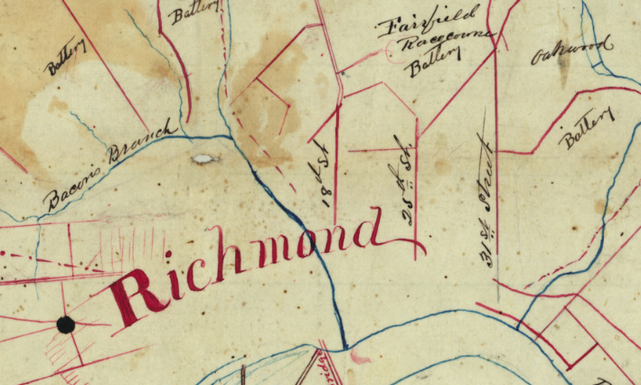
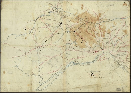
Richmond (186x)
07/31/2011 5:14 PM by John M
Hand-drawn map of Richmond (186x) via American Memory at the Library of Congress.
Richmond & vicinity.
CREATED/PUBLISHED
[186-]NOTES
Relief shown by hachures.Shows names of some residents.
Title on verso obscured by mounting.
Pen-and-ink and pencil on 2 pieces of tracing linen, pasted together and mounted on cloth.
Reference: LC Civil War maps (2nd ed.), 636
In pencil in lower left: 12.
Copy imperfect: Ink spots thoughout, and large area of liquid staining in upper right.
TAGGED: map


That’s amazing.
This is amazing! What road did Deep Run Turnpike become?
Deep Run Turnpike is Broad Street! New Bridge Road is Nine Mile Road.
i did an overlay on googlemaps, and i think deep run turnpike became broad st.
The Richmond Turnpike was commissioned to be built in 1804 started at the western end of H. St (Broad St) at Henry St and ended at Three Chopt Road at Short Pump (that intersection today would be in front of the Wal-Mart). Its purpose was to provide a straighter and better improved route from the Deep Run coal pits to Richmond than the Old Coalpit Road which has virtually been erased from the map. Eventually the name changed to the Deep Run Turnpike, then to Broad Street Road, and now West Broad St.