
RECENT COMMENTS

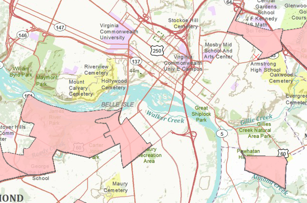
A map of RVA’s food deserts
The ERS’s Food Desert Locator attempts to illustrate which communities have the least access to healthy food:
In a 2009 report to Congress, Access to Affordable and Nutritious Food: Measuring and Understanding Food Deserts and Their Consequences, ERS outlined a number of ways to measure how many people have limited access to food and how many live in low-income areas with limited access. The report used 1-kilometer (km) square grids as the base geographic unit of analysis, measuring distance from the nearest source of healthy foods. Grids outside of a specified distance from a food source were designated as low access areas (separate markers for low access were used for rural and urban areas). Grids with high concentrations of low-income individuals received particular attention.
Supermarkets and large grocery stores were used as proxies for sources of healthy and affordable foods. Based upon these data sources and measures, the report described characteristics of people and households residing in areas with limited access to healthy and affordable food such as the number of poor people, the number of children or older persons, and the number of households without vehicles.
The definitions and methods used in the 2009 ERS report provide accurate and credible estimates of the extent of limited access to healthy food in the U.S. population across a large and geographically diverse country. Use of the 1-km square grid increased precision in measuring where people are and how far they are from sources of healthy food; the 1-km square grid measure also provided consistency in defining geographic areas across the country. However, the 1-km square grids are not widely used geographic units; organizations and communities applying for HFFI funding are unlikely to be familiar with them; and there is no standardized way to identify a specific grid (unlike counties, zip codes, or census tracts which can be identified).
Because of unfamiliarity with these grids, the HFFI working group decided to use census tracts as the geographic units of analysis. Census tracts are more commonly used geographic measures and have a standardized numbering system. (The 1 kilometer-square grids are still used to measure distance as explained in Definition of a Food Desert). A census tract is a small, relatively permanent subdivision of a county that generally contains between 1,000 to 8,000 people, with an optimum size of 4,000 people.

Even with the Community Market and Food Circus (I think) nearby? They don’t sell healthy stuff?
Good question.