RECENT COMMENTS
Joel Cabot on Power Outage on the Hill
Eric S. Huffstutler on What is up with the Church Hill Post Office?
Eric S. Huffstutler on What is up with the Church Hill Post Office?
Yvette Cannon on What is up with the Church Hill Post Office?
crd on Power Outage on the Hill

New voter district maps released today
03/22/2012 5:25 PM by John M
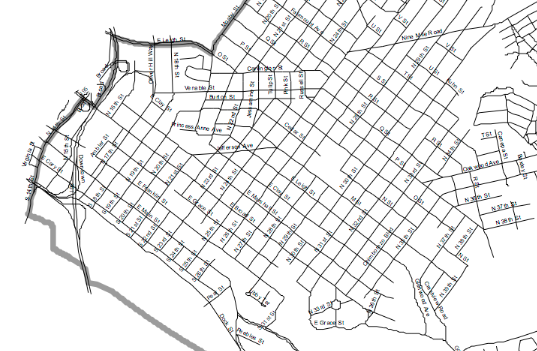
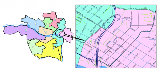
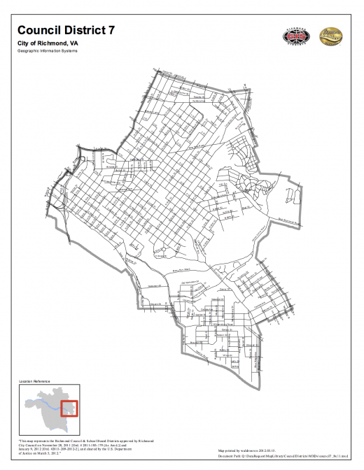
The new maps of Richmond’s 9 voting districts were released today by the city. Moved to the 7th District from the 6th District is a small area west of Mosby, Cedar, and 19th Street that pulls in more of Union Hill and Shockoe Bottom.
The full set of PDF’s can be accessed on the city’s website.
TAGGED: map


From what I understand redistricting is done to help even the playing field. Well, this is what the media has portrayed the effort as so far. But my main question is, does anyone know how much money it actually costs to make this happen? I’m sure it is a pretty penny that I thought we didn’t have but for some reason we always seem to find it.
The redistricting follows the census. The districts are adjusted every 10 years to help ensure that each district has approximately the same population.
Don’t think we have a choice, Dept of Justice requires it as far as I know. Like John said, they base them off of census data. They have guidelines and when the 2010 census results showed populations move/grow/decline and racial percentages change the old districts no longer meet those guidelines for near even population distribution in each district and for having a district where the majority of the population is of a racial minority, plus lots of other factors I would guess. It was probably hugely expensive for the City.