RECENT COMMENTS
Eric S. Huffstutler on What is up with the Church Hill Post Office?
Eric S. Huffstutler on What is up with the Church Hill Post Office?
Yvette Cannon on What is up with the Church Hill Post Office?
crd on Power Outage on the Hill
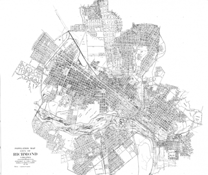
Richmond population distribution 1930
02/10/2010 12:55 PM by John M
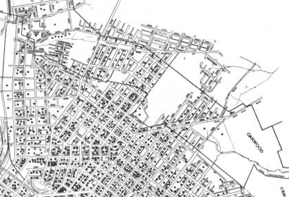
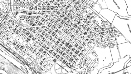
Issued 1931, produced by the Department of Public Works Bureau of Survey and Design. Each dot represents 25 people. Makes an interesting companion to an earlier DPW map…
TOP: North of Jefferson Avenue / BOTTOM: South of Carrington Street. Click either image to view larger. Visit the Flickr page to view larger and full size.


0 RESPONSES