
RECENT COMMENTS

Four early maps of Henrico County and Richmond
The independent city of Richmond was located within Henrico County until a state constitutional change in 1871 created independent cities. Earlier maps of Henrico show Richmond at the center of the county. A number of later maps of Richmond draw from the 1853 Smith’s Map of Henrico County.
Click through any map to view larger and for more information.
")
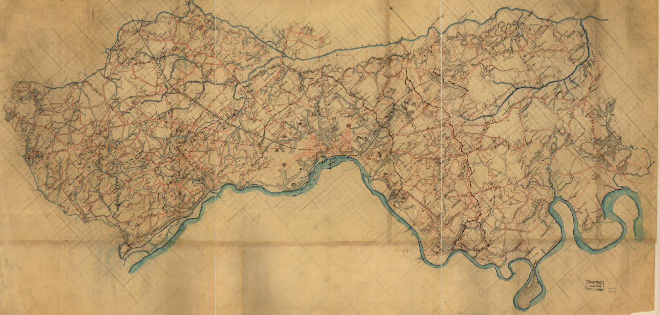
Henrico County (1864)

Henrico County (Nacomb 1862)
")
Henrico County (Smith 1853)

Henrico County (Smith 1853)

DETAIL Henrico County (Smith 1853)

Richmond (Adams 1864)
Map of the city of Richmond, Virginia/From a survey by I. H. Adams, Assist., U.S. Coast Survey, 1858, with additions from Smith’s map of Henrico County, 1853. Prepared at the U.S. Coast Survey Office, A.D. Bache, Supt. H. Lindenkohl & Chas. G. Krebs, lith.
TAGGED: map
Awesome!!!! Thanks so much for posting these maps. They are incredible, especially since they are zoom-able.
I haven’t seen the Nacomb map. Not sure how I missed that one. I have the others. I have always wished that they didn’t destroy the old Westham/Scuffletown Road west of Strawberry and the Old Coalpit Road. It would have made for an interesting street grid today. Also what I find odd is that those many of the current streets only existed on paper at that time and that is not noted.