
RECENT COMMENTS
Joel Cabot on Power Outage on the Hill
Eric S. Huffstutler on What is up with the Church Hill Post Office?
Eric S. Huffstutler on What is up with the Church Hill Post Office?
Yvette Cannon on What is up with the Church Hill Post Office?
crd on Power Outage on the Hill

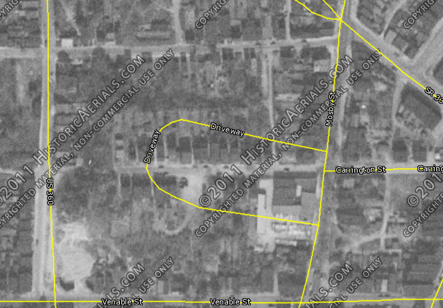
Richmond from above (1952)
06/02/2012 8:05 AM by John M
Cam tipped me to this 1952 map of Richmond at Historic Aerials. Poking around the East End at some areas that have been redeveloped on a larger scale in the last 60 years uncovers a glimpse into an older look at Jefferson Townhomes (above), Fairfield Court, and Fulton. The yellow overlay shows the current street grid.
A higher resolution, non-watermarked version of the map is available for $20 if anyone wants to chip in. Lemme know.

Fairfield (1952)

Fulton (1952)
Great find. Just wish zooming into a property was a bit more clearer than grain and fuzzy. No details outside of seeing it in an entire neighborhood-region mode.