RECENT COMMENTS
Eric S. Huffstutler on What is up with the Church Hill Post Office?
Eric S. Huffstutler on What is up with the Church Hill Post Office?
Yvette Cannon on What is up with the Church Hill Post Office?
crd on Power Outage on the Hill

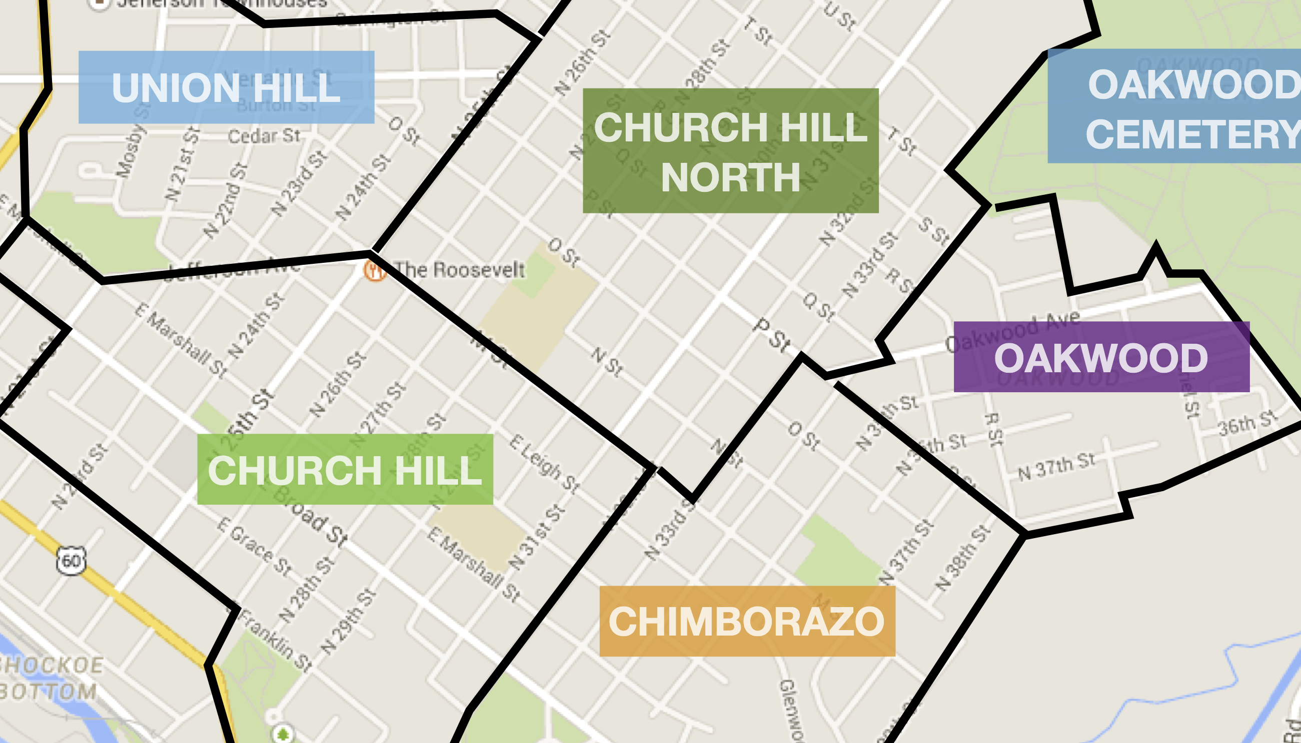
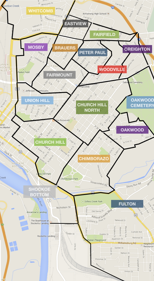
Map of Richmond’s East End neighborhoods
04/20/2009 11:00 AM by John M
Based on a map of all of the neighborhoods as defined by the city (PDF), I’ve put together an easier to read map of the East End neighborhoods.
— ∮∮∮ —

TAGGED: map


Thank you for including a map of what the City considers the neighborhood boundaries to be. I’d sure like to see active civic associations in neighborhoods like Oakwood and Chimborazo among others. The concerns of those areas would be best addressed by the people closest to the issues, as is done in the St. John’s area, etc.
Neat! I remember looking for a map like this when I first moved to Richmond and failing. I spent a few months pretty confused because every 2 x 2 block square of the city seems to have its own name.
Thanks, this is really awesome.
The map is completely wrong… I’m still working on the correct map.
Too bad Battery Park is not listed. Only listed with Northern Barton Heights.